Professional Drone Services & Photography
Peak Action Photography delivers professional aerial imaging, construction progress monitoring, photogrammetry, orthomosaic mapping, commercial thermal inspections, and high-quality photography and videography throughout New England.


Construction Progress Monitoring
Document construction activity with high-resolution aerial photography, video, and scheduled site visits to track progress from groundbreaking to completion.
Professional Photography & Video
Professional sports, event, portrait, real estate, and commercial photography, delivering sharp images and engaging video for personal and business needs.
Commercial Aerial Photography
Professional aerial photography and cinematic video for construction projects, commercial properties, real estate, and business marketing.
FAA Part 107 Certified | Project-Specific Liability Insurance Available | Certificate of Insurance Provided Upon Request
Our services
Peak Action Photography provides professional drone mapping, photogrammetry, orthomosaic imaging, construction progress monitoring, thermal inspections, and aerial photography. Based in Central Massachusetts, we serve commercial and residential clients throughout Massachusetts, Connecticut, Rhode Island, New Hampshire, Vermont, and Maine.
Construction Progress Monitoring
Professional photography and videography capturing sporting events, corporate functions, weddings, community celebrations, and special occasions. We deliver sharp, vibrant photographs and engaging videos that preserve memorable moments and support business promotions.


Drone Mapping & Photogrammetry


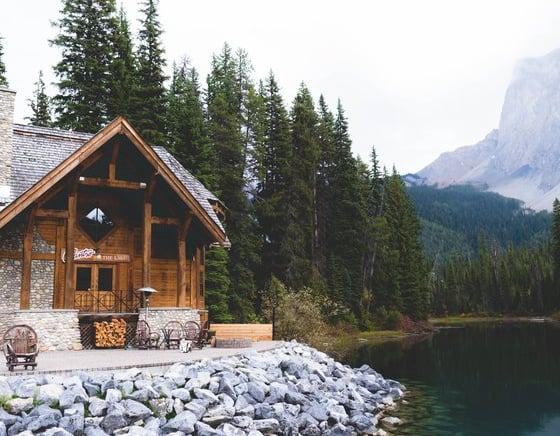
Professional ground-level photography for residential and commercial real estate, portraits, corporate branding, wildlife, and special events. We combine creative composition, professional equipment, and attention to detail to deliver exceptional images for personal and commercial use.

Aerial Photography & Videography
Professional aerial photography and video documenting construction projects from initial site preparation through completion. Scheduled drone flights provide consistent visual records for contractors, developers, engineers, and project managers throughout New England.
Ground Photography & Real Estate
Sports & Event Photography
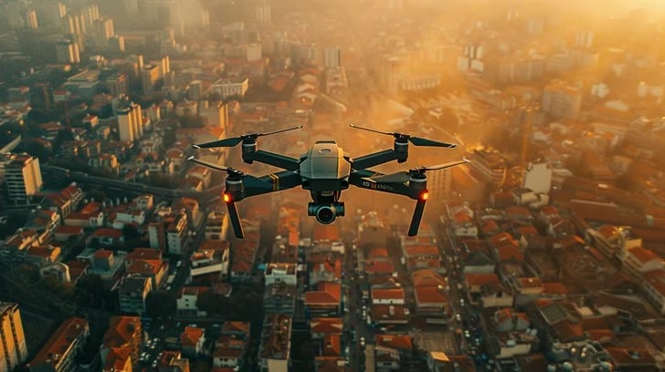
Professional aerial photography and cinematic video using advanced DJI drone technology. We capture high-resolution imagery for commercial real estate, construction projects, property development, tourism, advertising, and promotional marketing throughout New England.
High-resolution drone mapping, orthomosaic imagery, and 3D photogrammetry for construction sites, land development, and commercial properties. Our aerial mapping solutions provide detailed visual documentation to support project planning, site monitoring, and construction management.


Advanced aerial thermal imaging using DJI Matrice 4T technology for commercial rooftops, solar installations, buildings, and infrastructure. Thermal imagery helps identify temperature anomalies, document conditions, and support maintenance planning and further inspection.
Commercial Thermal Imaging


Peak Action Photography delivered stunning aerial shots for our real estate listing. Their fast turnaround and professionalism made the process seamless. Highly recommend their services!
Kristen Sullivan


★★★★★
Request a Project Quote
Contact Peak Action Photography for professional drone mapping, photogrammetry, construction progress monitoring, commercial thermal imaging, aerial photography, and videography throughout New England. Tell us about your project to receive a customized quote.
Reach
Nick Ragozzino
774-217-0093
Inquire
info@peakactionphotography.com