About Peak Action
New England's premier drone and photography service for real estate, corporate, and sports clients with fast, transparent pricing.


Explore our services
Event Photography


Peak Action Photography provides professional event photography and videography for corporate functions, community events, sports, and private celebrations, delivering sharp, well lit images, highlight reels, and fast turnaround for marketing, and social media. photography and videography for corporate functions, community events, sports, and private functions.
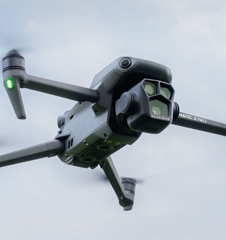
Aerial Surveying and Mapping
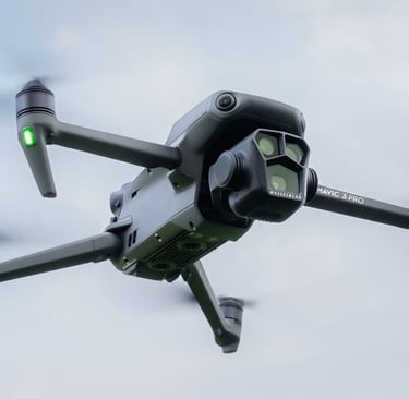
The Mavic 3 Pro’s 4/3 CMOS sensor, long range, and GPS accuracy make it ideal for aerial surveying and mapping. It captures georeferenced images for 2D maps, topographic overlays, and 3D models. This service suits construction, land management, real estate, and environmental projects by providing precise data and visual documentation.
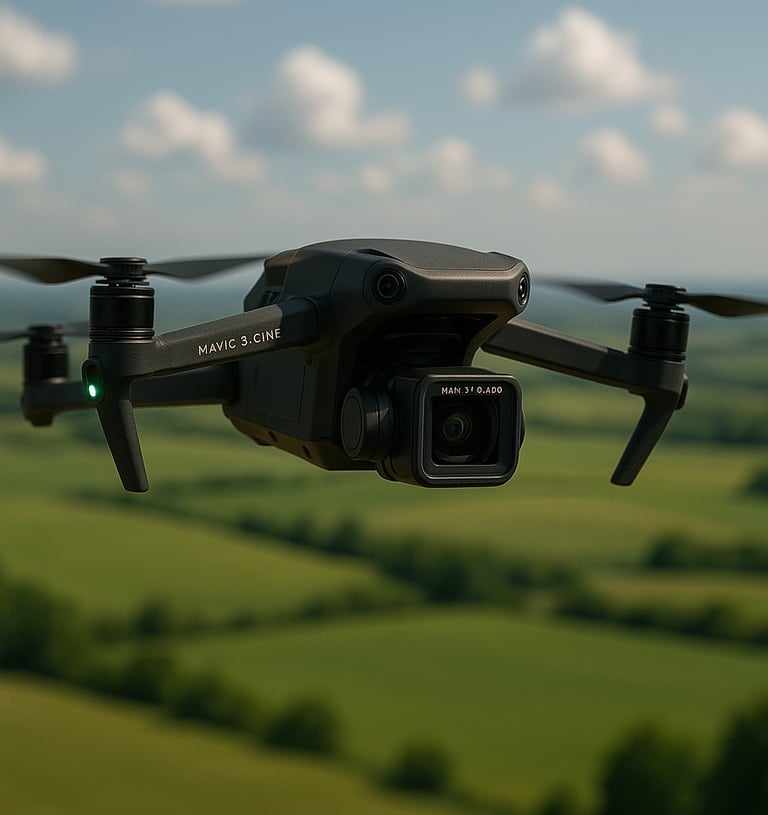
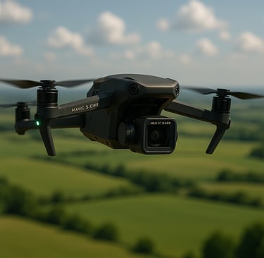
Aerial Photography and Videography
Drones with high-resolution cameras capture cinematic views impossible from the ground. The DJI Mavic 3 Pro’s Hasselblad camera and multi-lens system produce smooth 4K video and sharp stills for real estate, events, film, tourism, and public safety projects.

Contact Us
Get in touch for high-quality aerial and ground imagery.